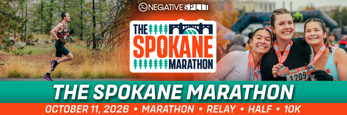
Experience the natural beauty of the Inland Northwest, with a course that winds along the Spokane River, through pine forests, and on the scenic Centennial Trail. Boston Marathon certified course.
Events
Marathon Team Relay
Half Marathon
Kids Fun Run
Increases to $20 after the first 100 people register. Registration ends October 11, 2026 at 8:30am PDT
The Spokane Marathon Virtual Run
Packet Pickup:
Saturday - 10/10/26 - GMC of Riverfront Park
Sunday - Race Day - North Bank Park
Start Times:
7:00am - Marathon
7:00am - Marathon Team Relay
8:00am - Half Marathon
8:30am - Kids Fun Run
9:00am - 10K
For more race information check out the Athlete Guide!
Official Race Charity Partner
Bloomsday Road Runners Club Youth Fund
The Bloomsday Road Runners Club (BRRC) Youth Fund is a fund within the BRRC that provides running-related support to youth in the Spokane area. Funds are used to host running events for kids, help student athletes purchase running shoes and other essential gear, and generally support young people in participating in athletics and track events.
